


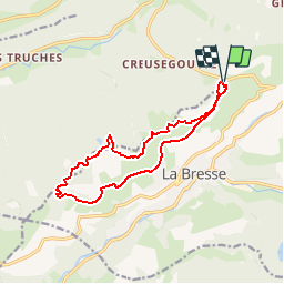
OR-6098028--Bresse (La):CIRCUIT VTT N°1

Alfredy
Gebruiker GUIDE


1h00
Moeilijkheid : Gemakkelijk

Gratisgps-wandelapplicatie
 SityTrail
IGN / Geografische instituten
SityTrail Plus
De wereld gaat voor u open
Over ons
Tocht Mountainbike van 12,5 km beschikbaar op Grand Est, Vogezen, La Bresse. Deze tocht wordt voorgesteld door Alfredy.
Beschrijving
Circuit présenté dans la Carte Hautes-Vosges VTT, disponible à l'Office de Tourisme de La Bresse sur demande.
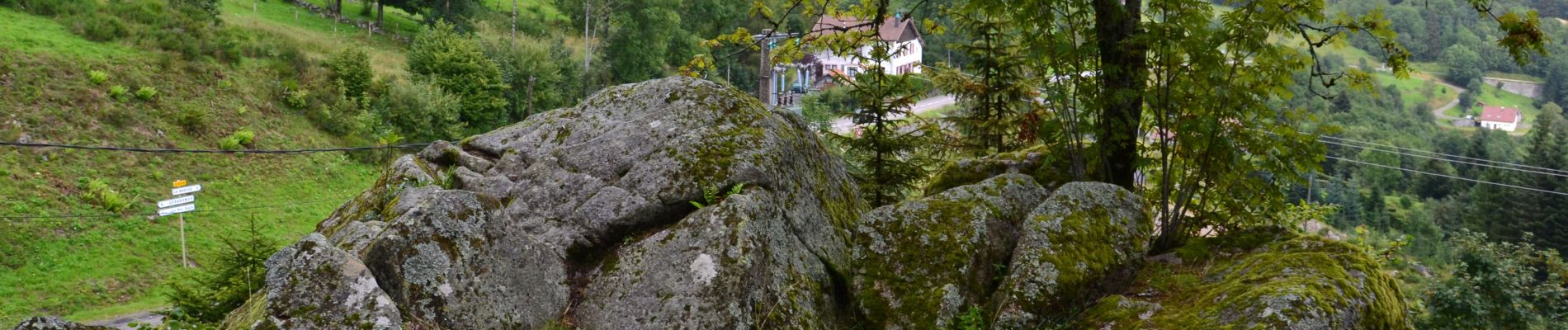
Départ : Col de Grosse Pierre.
Accès libre permanent et Itinéraire balisé.
Foto's
:CIRCUIT VTT N°1 - Photo 1")
:CIRCUIT VTT N°1 - Photo 2")
:CIRCUIT VTT N°1 - Photo 3")
Plaatsbepaling
Opmerkingen